This product is not available for online orders. Please call 770-695-3361 for your custom quote.
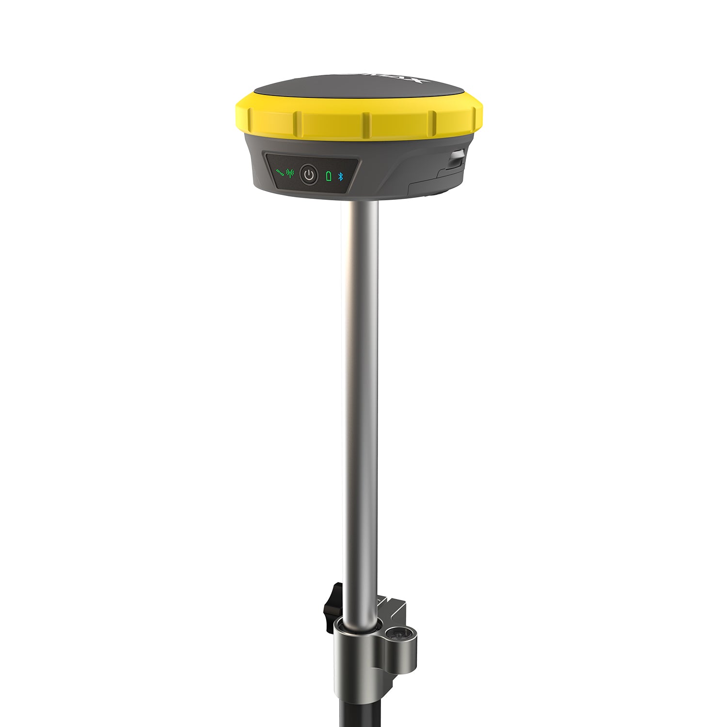
Using the Zenith60 Pro GNSS smart antenna, you can finish the job on time and with confidence. This antenna enables accurate, reliable, and hassle-free measurements. Whether working under dense canopy, in urban canyons, or on construction sites, this high-performing RTK rover provides reliable data in challenging conditions.
The Zenith60 Pro works seamlessly with X-PAD, GeoMax's premier land surveying software. Integrated into GeoMax, X-PAD software provides intuitive workflows and easy data exchange from measuring to processing to help you achieve maximum results in minimum time.
Optimized Performance That Makes Your Life Easier
The newly designed Zenith60 Pro RTK Rover provides high-quality data and supports a streamlined workflow. Its tilt compensation allows you to measure otherwise inaccessible points and increases your measurement speed and accuracy.
Reliable Even in Challenging Conditions
The Zenith60 Pro performs reliably even under the dense canopy. Multi-constellation and multi-frequency tracking supports continuous, accurate coverage in harsh climates, urban areas, or other challenging terrains.
The Zenith60 Pro is robust and durable, with an IP68 rating. The instrument is also resistant to electromagnetic fields, giving you confidence that you can rely on your data.
Boosted Efficiency for Your Digital Workflows
Zenith60 Pro is fully integrated with the GeoMax ecosystem, providing a comprehensive solution that works when you do. It connects with GeoMax total stations and innovative X-PAD field software, which enables an efficient and flexible workflow. X-PAD Software provides a simple user experience without extra software maintenance costs.
Efficient and Safe Data Management
X-PAD 365, the web-based GeoMax cloud platform, was created to address the daily data management and collaboration challenges faced by surveyors and construction professionals.
When working with the Zenith60 Pro, data can be accessed, stored, and shared via the X-PAD 365 File Manager. Thanks to automatic backups, your data is always safe.
Furthermore, the Collaborative Survey and Stakeout feature allows several users to work on the same surveying or stakeout project together, sharing real-time surveyed points and drawings and immediately seeing the progress.
[GeoMax Zenith60 Pro Datasheet]


